Extreme Heat Warning Issued: What to Expect This Week
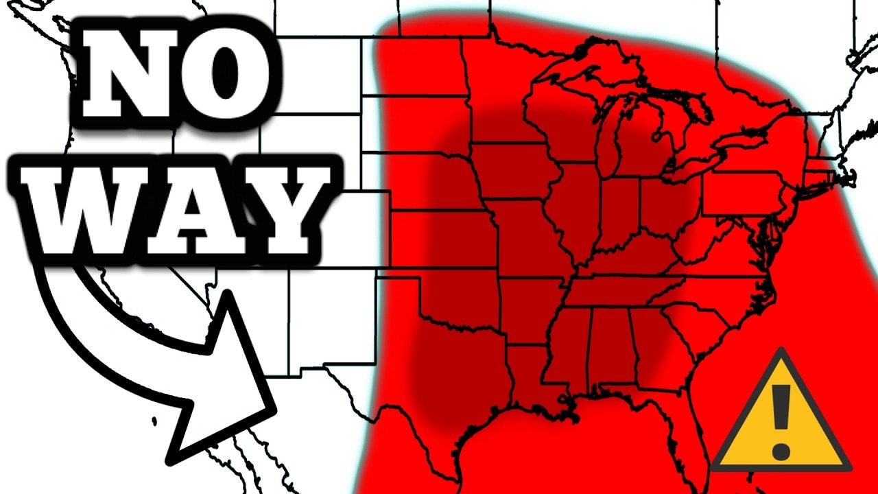
An extreme heat warning has been issued as the region braces for dangerously high temperatures, soaring heat indices, and minimal rain relief. With a heat advisory in place today and worsening conditions expected tomorrow, residents are urged to take precautions against heat-related health risks.
Scorching Temperatures: Heat Index Nearing 115°F
🔥 Heat alert: It’ll feel like the 40s in #Toronto today! Environment Canada is warning of extreme heat with temps around 35 °C with humidex near 44. Stay cool, hydrate often, and check on those most vulnerable. Visit the link for tips & local cooling centres. pic.twitter.com/Tsxk9t74rz
— Councillor Jamaal Myers (@CllrJamaalMyers) July 24, 2025
Under a dominant upper-level ridge, the region is experiencing unrelenting heat. As of now:
Current temperatures are at 96°F, with heat indices soaring as high as 111°F in areas like Kenner.
Today’s high reached 97°F, falling just short of the 99°F record set in 1981.
Winds remain light, providing little relief from the heat.
This is not your typical July heat—humidity and high temperatures are pushing conditions into the danger zone, prompting the extreme heat warning.
Tomorrow: Even More Dangerous Conditions Expected
Not only could we tie or break record highs in the upper-90s tomorrow, but it’ll feel even hotter thanks to tropical humidity. Heat alerts are in effect, including an Extreme Heat Warning for the urban corridor…where heat indices could reach 105°. @6abc pic.twitter.com/nLe3VtmWcb
— Payton Domschke (@PaytonDomschke) July 24, 2025
A more serious extreme heat warning is in effect for tomorrow, with:
Heat indices possibly exceeding 115°F.
Increased risk of heatstroke and dehydration, especially for vulnerable populations.
Minimal cloud coverage is expected until late evening, allowing temperatures to spike again into the mid to upper 90s.
Limited Rainfall and Cloud Relief
Today saw only isolated showers and pop-up thunderstorms:
A few light downpours were recorded near I-12, Lower Lafourche, and Terrebonne.
Most weather models did not predict significant rainfall, and dry conditions prevailed across much of the area.
Although not widespread, some cloud formation and coastal showers may start to develop tomorrow evening, giving brief relief to certain areas.
When Will It Cool Down? Rain Chances Are Rising
The current weather pattern is expected to shift by Thursday and Friday, when:
A tropical disturbance and upper-level low from the Atlantic will begin to weaken the upper ridge.
Increased cloud cover and scattered storms may result in temperatures returning to the upper 80s.
Rainfall could reduce the impact of the heat, though models suggest light to moderate precipitation, not heavy flooding.
According to the Weather Prediction Center, there’s a low risk of isolated street flooding Thursday and Friday, especially in areas prone to poor drainage.
7-Day Forecast: Brief Relief Before Heat Returns
| Day | High Temp | Rain Chance | Notes |
|---|---|---|---|
| Wed | 97°F | 30–40% | Extreme heat warning in effect |
| Thu | 89°F | 60–70% | Scattered storms and clouds |
| Fri | 88°F | 70% | Continued rain relief |
| Sat | 90°F | 50% | Partial clouds, drier periods |
| Sun-Mon | 93–95°F | 20–30% | Heat returns as the ridge builds |
Expect some temporary relief mid-week, but hot and humid conditions will return by Sunday into early next week.
How to Stay Safe During an Extreme Heat Warning
Good morning! We will see a mainly sunny sky with temperatures increasing today along with the humidity. Today’s high, 88°. Tomorrow will be very hot and humid with heat, advisories and extreme heat warnings in effect for the region especially careful tomorrow afternoon outdoors. pic.twitter.com/1VIzSUcrRk
— Mike Woods (@mikewoodsfox5) July 24, 2025
With the extreme heat warning active, the following precautions are highly recommended:
Stay hydrated: Drink plenty of water, even if not thirsty.
Avoid strenuous activity during peak heat hours (10 AM–4 PM).
Wear light, loose-fitting clothing and seek shade or air-conditioned spaces.
Check on elderly neighbors, pets, and children, who are at greater risk.
Conclusion: Prepare for the Heat—Rain Is Coming, But Not Yet
While some cooling relief is expected later this week, the next 24–48 hours will remain dangerously hot. The issued extreme heat warning is a clear sign of the weather’s severity, and locals are urged to remain cautious and weather-aware.
Stay tuned for updated forecasts as the tropical disturbance and upper-level changes bring in better chances of rain and relief.


